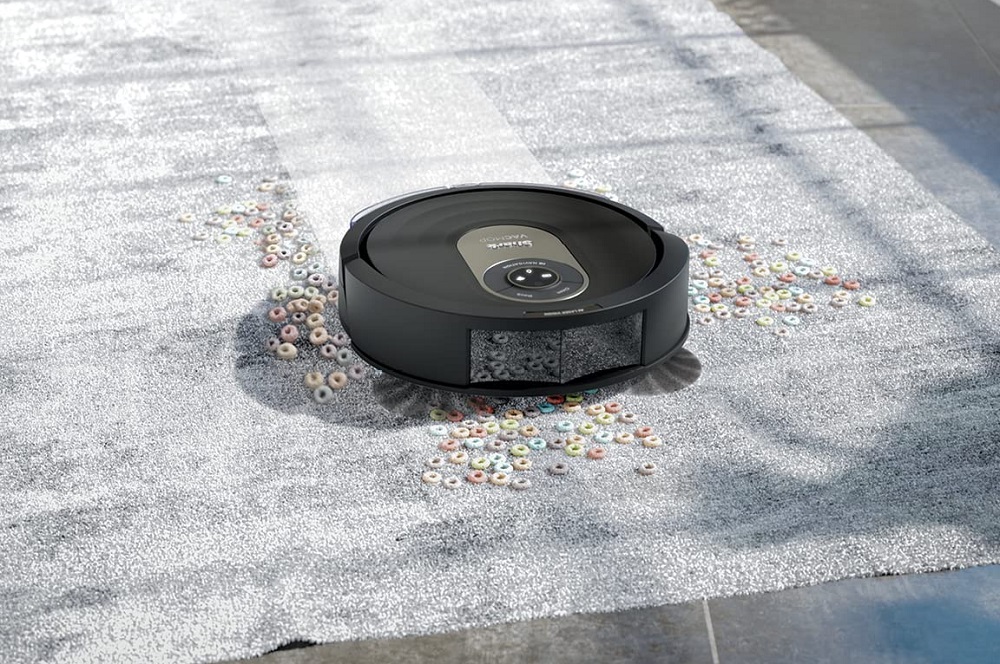
Ever since robot vacuums first hit the market back in the early 2000s, their technology has improved by quite a lot, to say the least.
But if you want a robot vacuum that has the best potential of navigating and cleaning your floors, make sure it comes with LiDAR Mapping Technology.
What Is Robot Mapping?
Modern robot vacuum cleaners with mapping technology traverse the floors of your home by creating a digital map during its first-ever vacuuming session. With mapping technology, your robot vacuum has a greater understanding of your home’s layout, which allows it to navigate its way into multiple rooms.
Some of the best robot mapping technology has the ability to differentiate between bare and carpeted floors.
A robot vacuum maps out your home by using one or a combination of the following:
Cameras
A digital camera pops out from the hood of your robot vacuum to record and snap photos of your home. As accurate as it is, camera-based mapping technology suffers in the dark, so users will have to run their robots during the day or turn on all the lights in their homes.
Gyroscope/Accelerometer
Gyroscopes or accelerometers carefully calculate the distances of objects relative to the robot’s current location, allowing it to plan avoidance routes before colliding with obstacles. Robots that rely solely on such systems are affordable but don’t have the most reliable navigation.
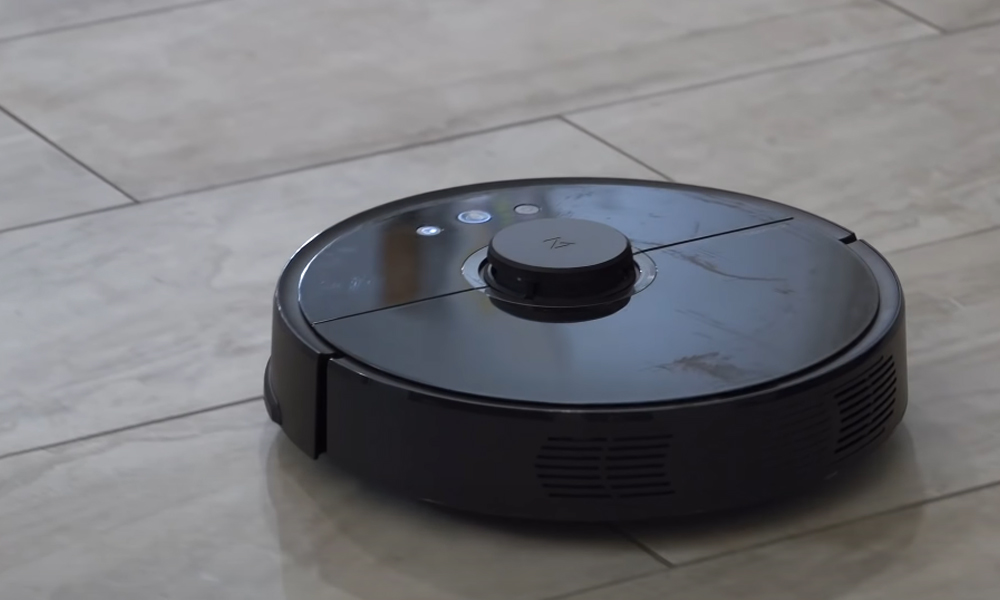
Laser Sensors
Some robots have laser sensors that rotate at high speeds to capture the location and size of surrounding objects. With the help of a laser sensor, your robot vacuum can produce a highly accurate digital floorplan, which it uses to create the most efficient cleaning path. This is what LiDAR Mapping Technology relies on.
What Is LiDAR Mapping Technology?
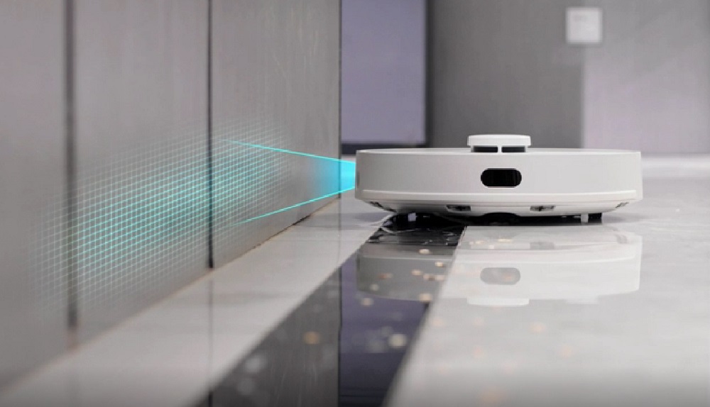
LiDAR (Light Detection and Ranging) was first introduced in the 2010s. It mainly consists of a tiny turret that shoots an invisible laser in all directions, covering every square inch of your home. The LiDAR turret then measures how long it takes for the laser to bounce off objects and return, which it then uses to calculate the distances of obstacles and floor types.
After creating a digital floorplan, the robot vacuum can access the map and use it to create the most efficient cleaning route. It also plots the location of its charging dock based on the map, so it has a greater chance of returning to recharge compared to non-laser-based robots.
LiDAR also gives users access to the map to add customizable cleaning functions, including selective room cleaning and creating no-go zones.
Is LiDAR Perfect?
As of today, LiDAR mapping is considered to be the gold standard for robot vacuum mapping tech. That said, it stills falls shorts in some categories regarding navigation efficiency.
For instance, LiDAR sensors have difficulty detecting small objects. Things like pet bowls and cables can prove impossible for even the most sensitive LiDAR sensors to pick up. However, users can overcome this problem by creating no-go zones by opening the robot vacuum’s smartphone app and drawing a virtual barrier.
If you have any questions or comments, please add them below in the comment section. Similarly, please let us know if you spot any mistakes or omissions. Thanks!